In 19 days I head out to the 2013 Sturgis Motorcycle Rally with five other buddies. We are taking an unconventional route (for East Coasters) as we’re starting in Malibu and heading to Sturgis from there.
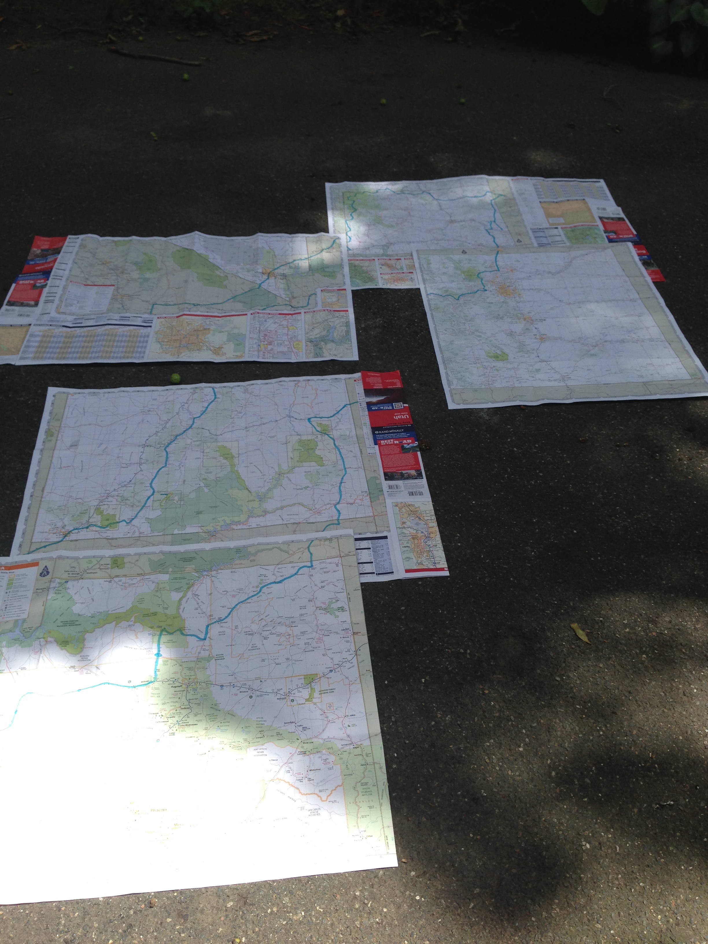
The route maps have been finalized (http://sprng.me/ihsh7) and I have even gone through the task of highlighting the routes on some Rand McNally paper maps. I prefer riding this way rather than using GPS as you can really see the big picture of the roads and understand how the terrain might lay out. Unfortunately I’m one map short and had to take a trip back to the store (Amazon) to put in a final order. What ever happened to buying maps at a bookstore? I tried that last year and was disappointed at the lack of any selection. Apparently everybody has GPS now and don’t need maps. This raises a philosophical question of being told where to go or having a little bit of imagination and freewill to make your own route plan… another conversation for another day.
I have found that a combination of printed maps (non laminated as you can’t highlight on those) in coordination with google maps is a great recipe. Google maps is much more granular than paper maps (depending on your scale) and allows you to find much better roads than the alternative. It also helps understand how long a day you’ll have in the saddle. 500 miles? 600? 9 hours or 12? All is directional of course but much better than using a map key.
When it was all said and done, I laid them out on the driveway. Colorado is a 2 sided map (using both sides) to explain one gap and California is just missing. Will complete when the map arrives.